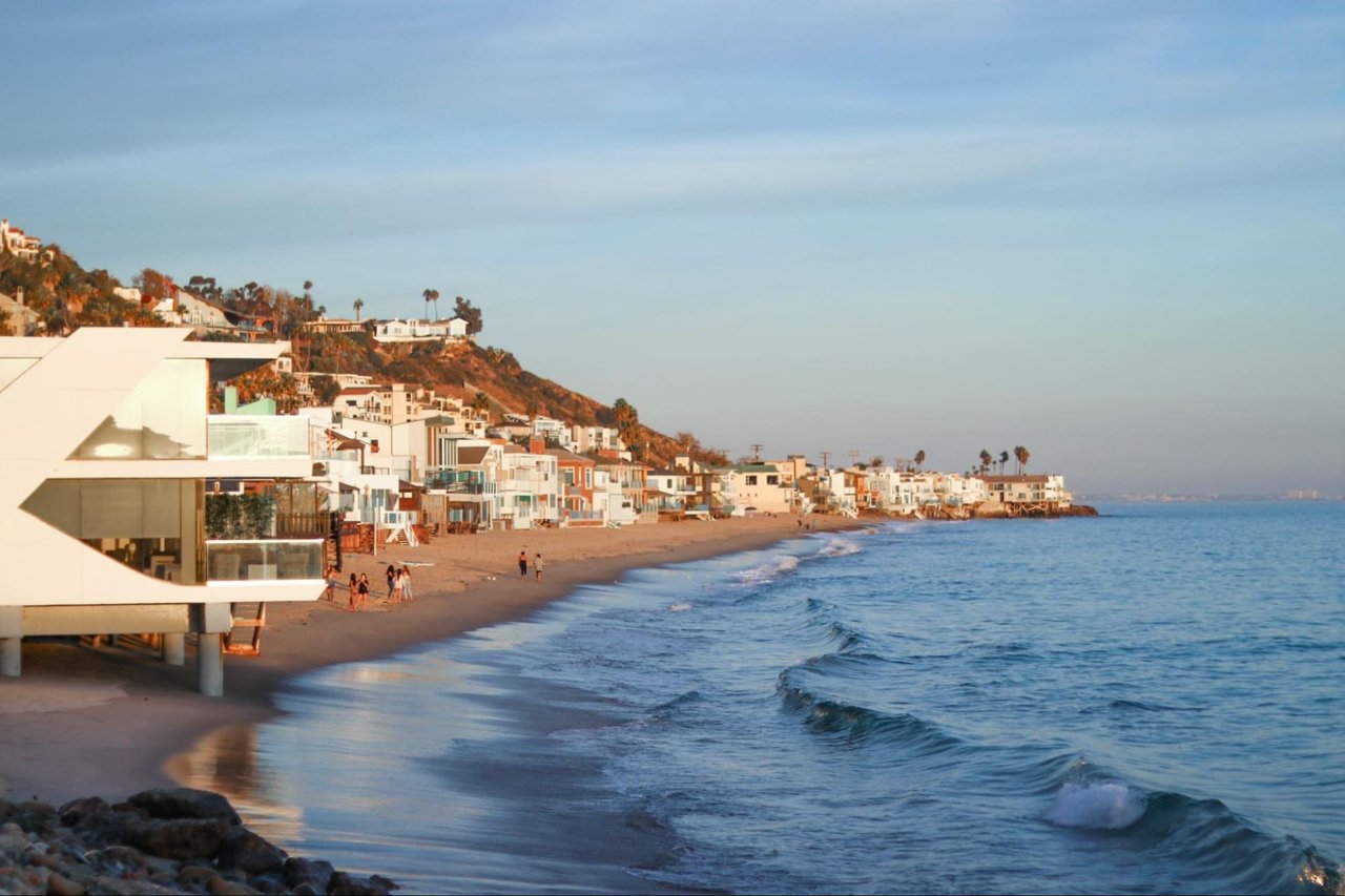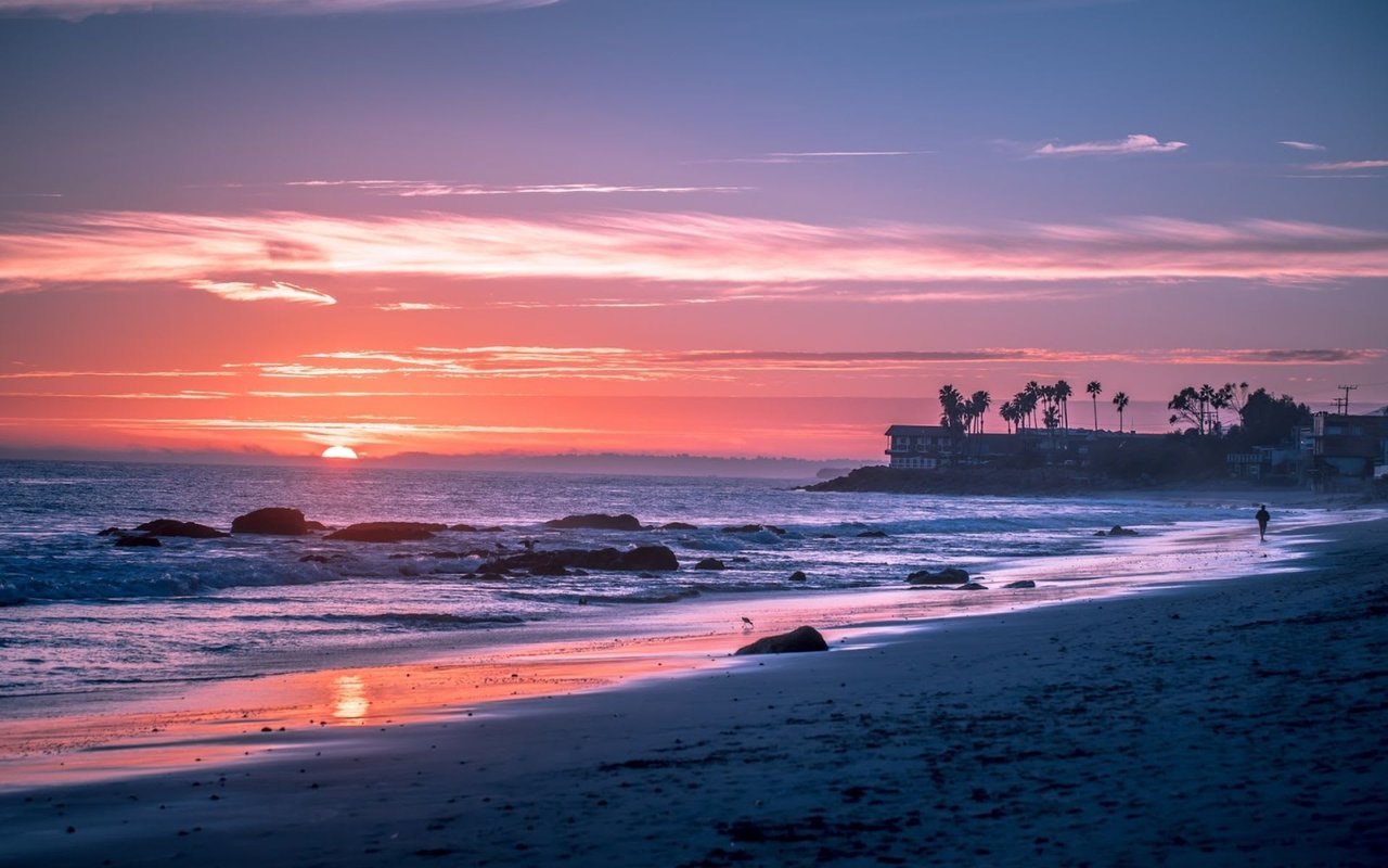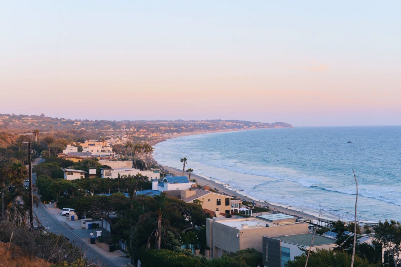
If you want a Malibu address that still feels connected to the Westside, Las Flores Beach stands out right away. This eastern stretch of Malibu offers a distinctive mix of shoreline living, canyon settings, and ocean views, all shaped by Pacific Coast Highway and the coastline itself. For buyers exploring Malibu, Las Flores often enters the conversation as a practical and appealing entry point into coastal ownership. Let’s dive in.
Why Las Flores Feels Like a Gateway
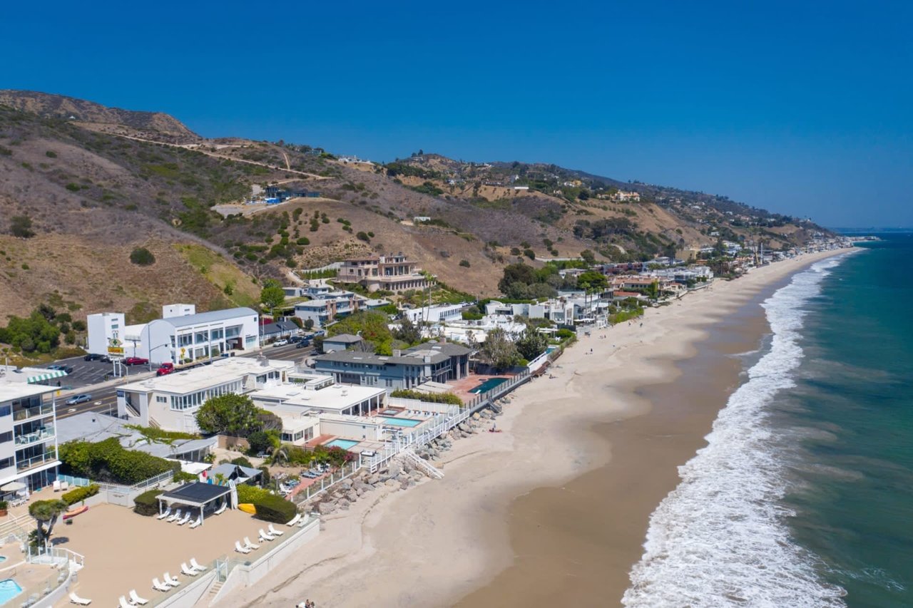
Las Flores Beach sits on Malibu’s eastern shoreline near Las Flores Canyon Road along Pacific Coast Highway. According to the City of Malibu coastal overview, this area is part of Malibu’s 21-mile Pacific coastline in northwest Los Angeles County.
Its location matters. Because Las Flores is on the eastern side of Malibu, it is often seen as one of the closer Malibu beach pockets to Santa Monica and the broader Westside. That makes it especially relevant if you want the Malibu lifestyle without heading as far west as some other coastal addresses.
Las Flores Location at a Glance
The area is tied closely to the Pacific Coast Highway corridor and the Las Flores Canyon Road area. In Malibu’s Coastal Vulnerability Assessment, Las Flores Beach is grouped with Carbon Beach and La Costa Beach in Area 7, covering addresses along PCH from 20546 to 22852. That placement helps define Las Flores as part of Malibu’s close-in eastern beachfront stretch.
For many buyers, that means a different daily rhythm than farther-west Malibu neighborhoods. You still get the ocean, the bluffs, and the sense of arrival that comes with Malibu, but with a location that may feel more connected to Santa Monica and nearby coastal routes.
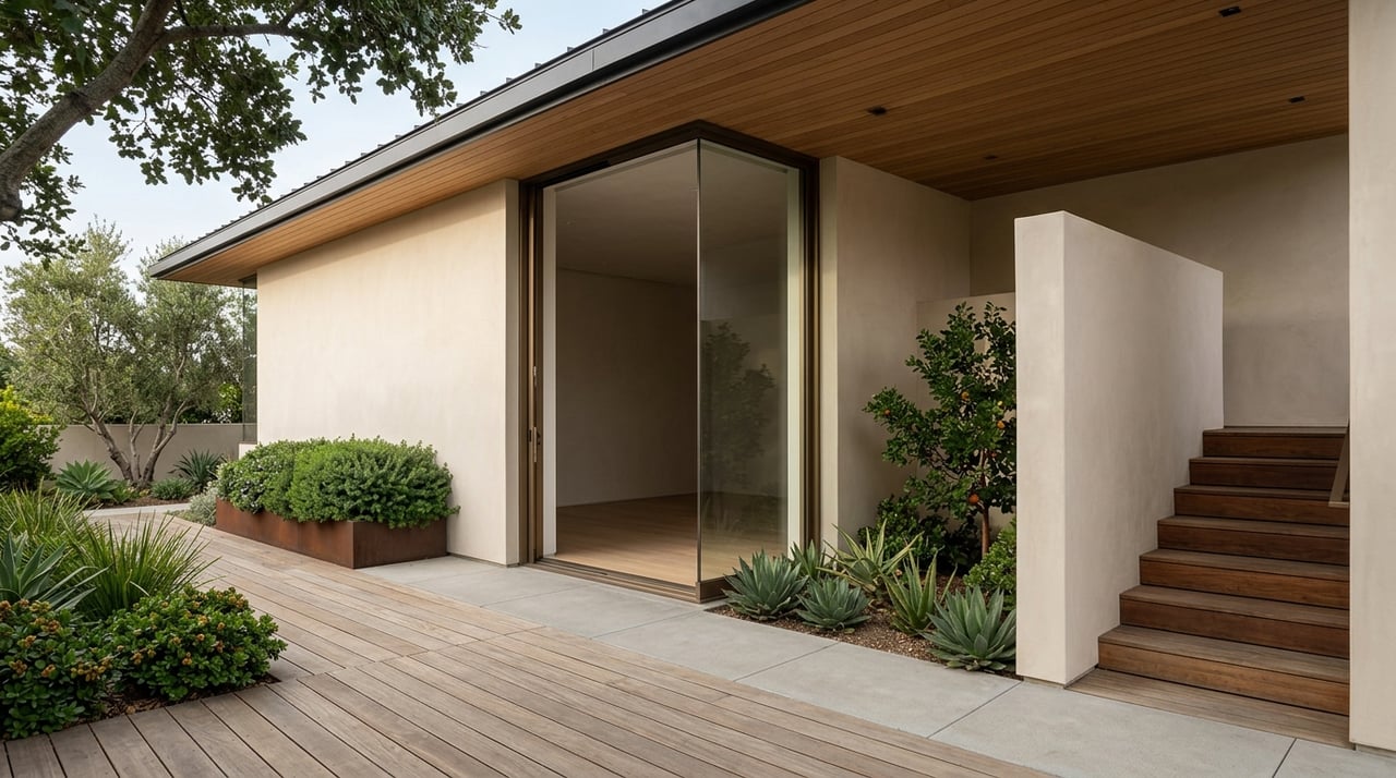
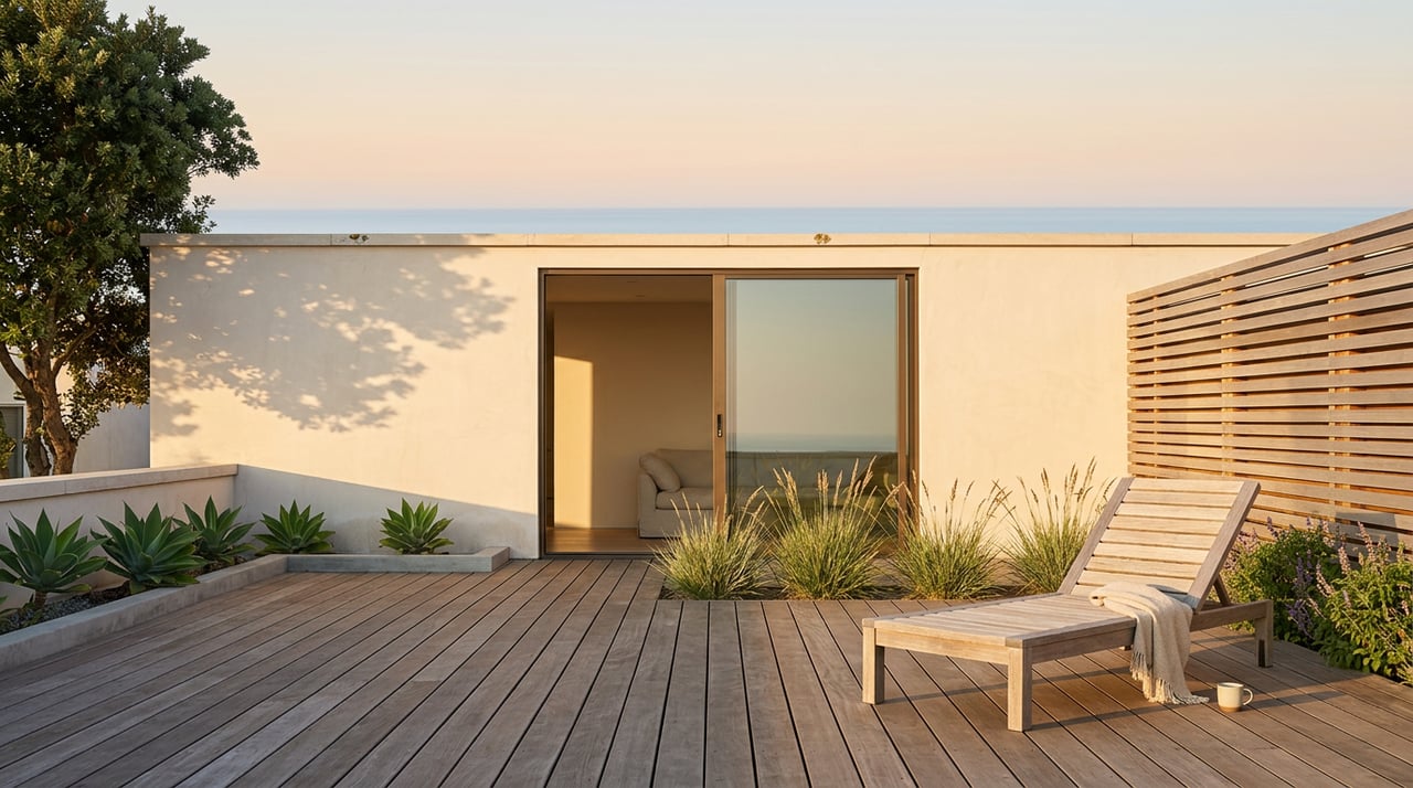
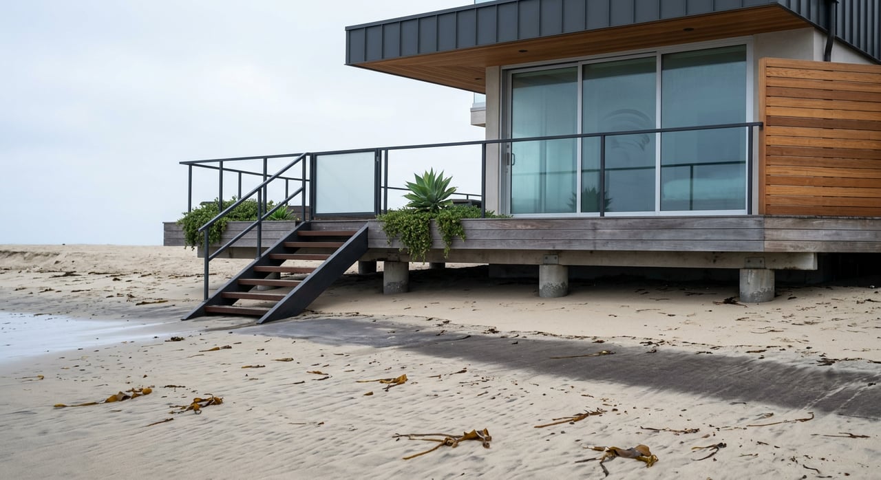
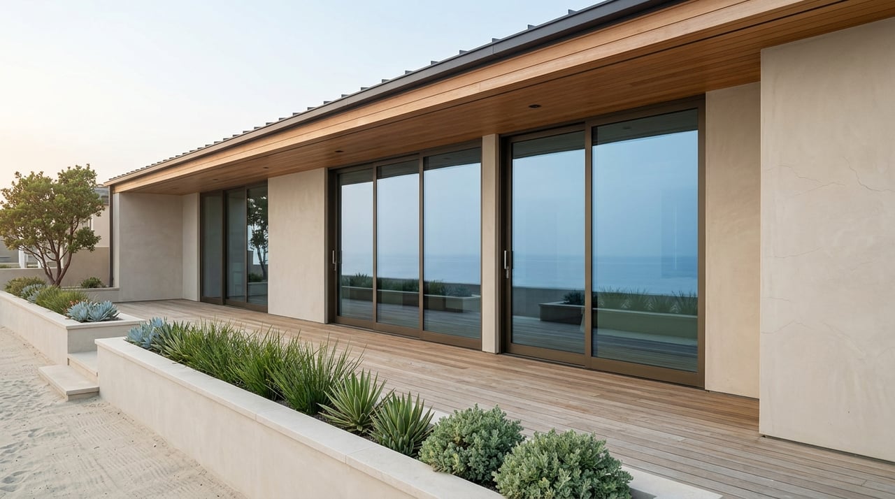
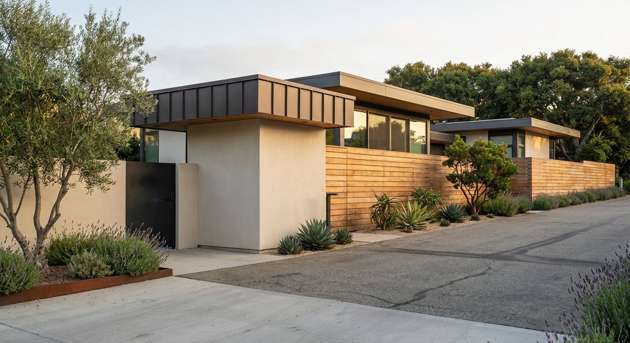
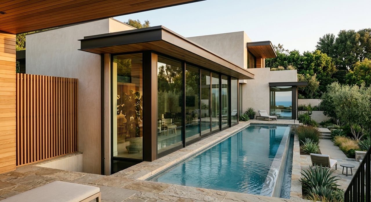
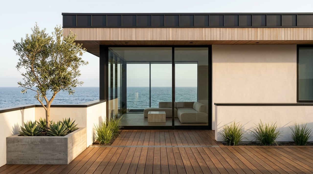
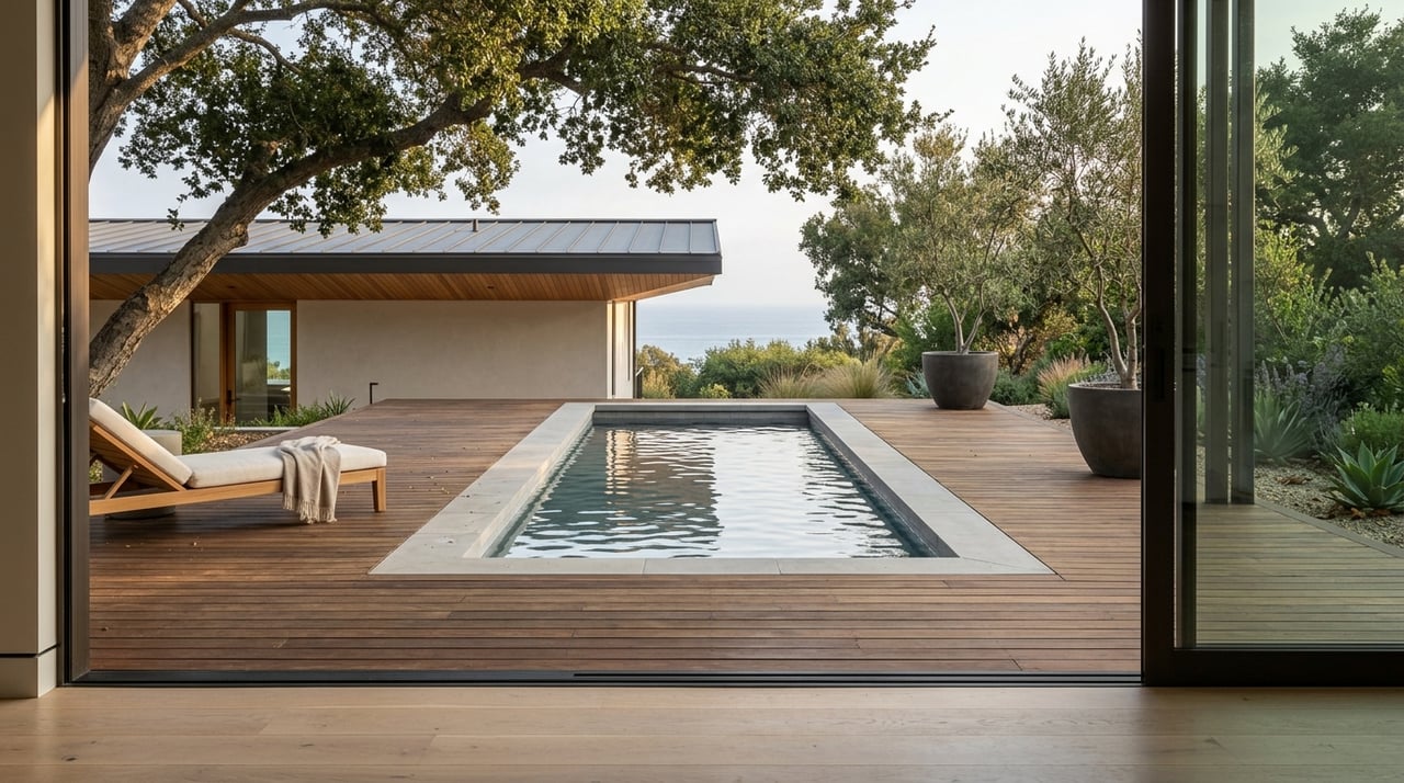
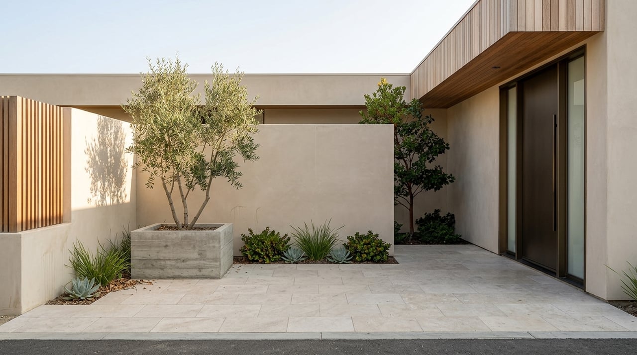
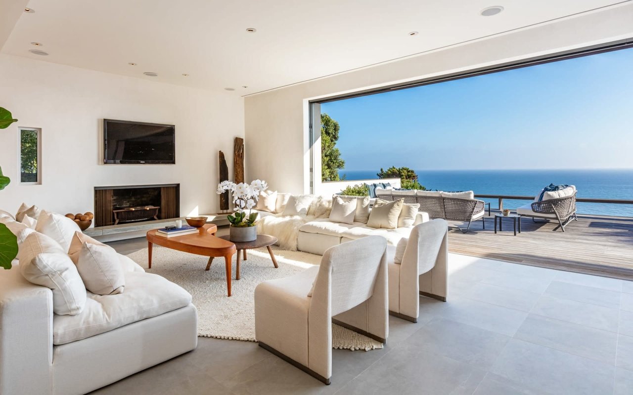
What Homes Look Like Here
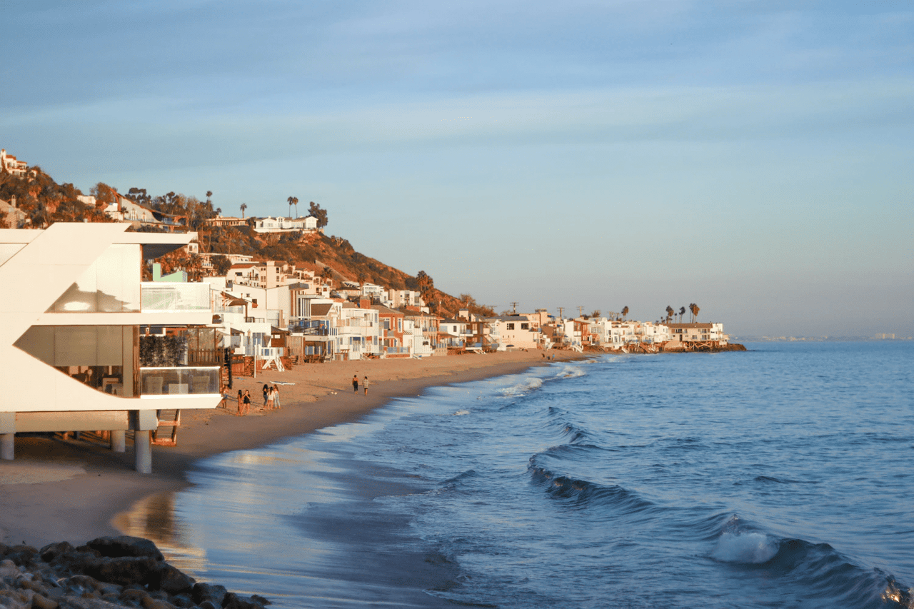
Coastal Strip Homes
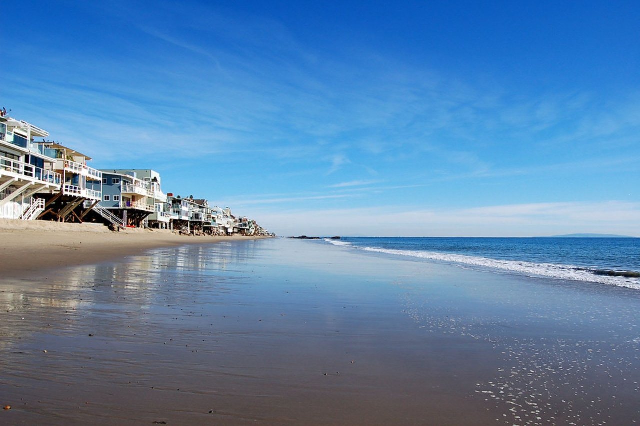
Malibu’s Local Coastal Program describes the area east of the Civic Center as a narrow coastal strip with single-family and multi-family development on the ocean side of PCH. That helps explain why homes near Las Flores can feel closely tied to the beach itself, with the coastline shaping both layout and setting.
Some residences are directly on the sand or positioned just above it. In practical terms, that creates a more intimate beach-living experience than you might find in larger resort-style coastal areas.
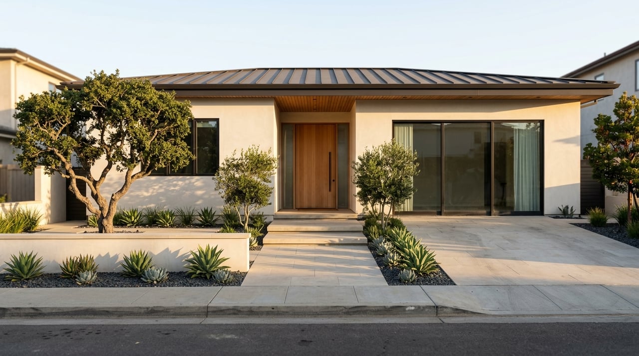
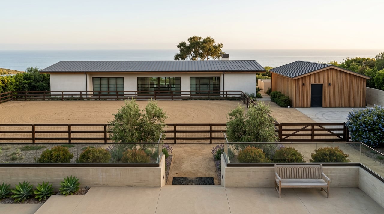
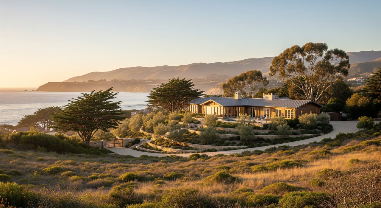
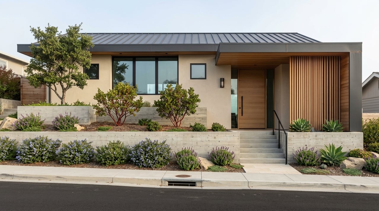
Canyon and Mesa Settings
The same planning document notes limited development on the inland side of PCH, along with scattered residences in canyons and on ridges such as Las Flores Canyon and Big Rock Mesa. This adds another layer to the housing mix.
Instead of a single neighborhood style, Las Flores tends to offer a range of settings. You may find beachside homes below, while homes above the shoreline can deliver broader canyon and ocean outlooks with a more tucked-away feel.
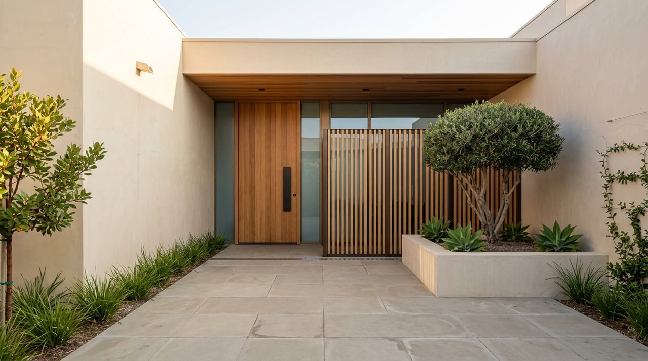
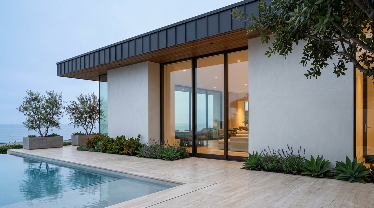
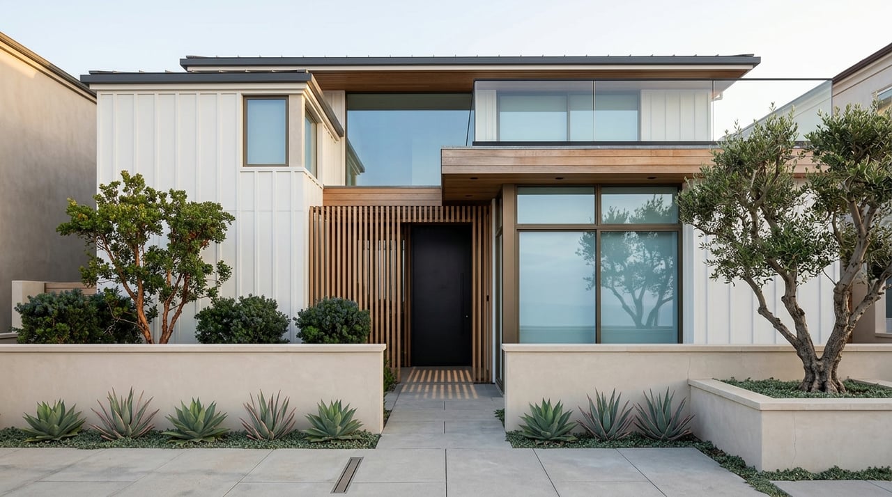
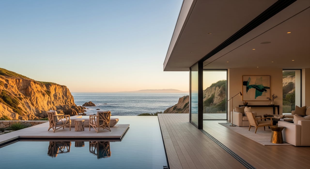
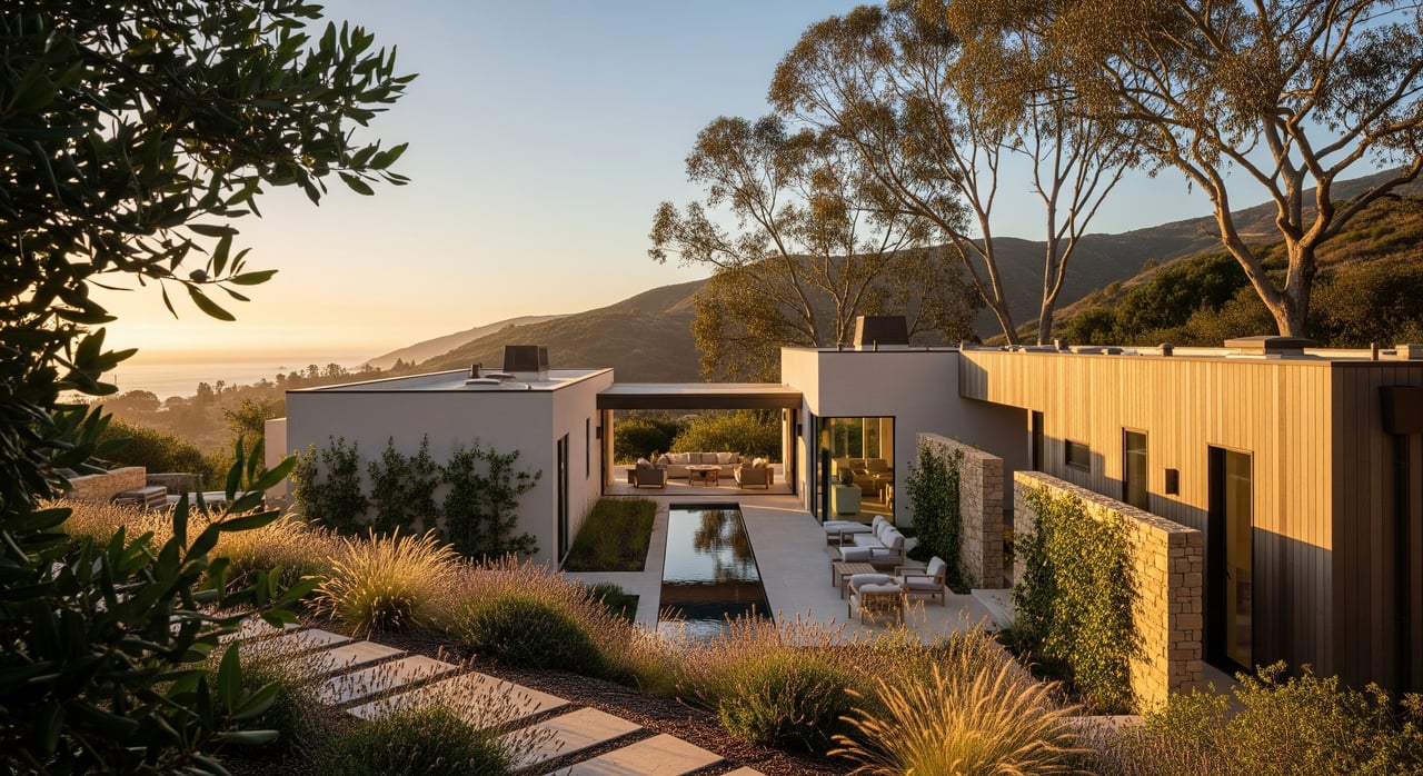
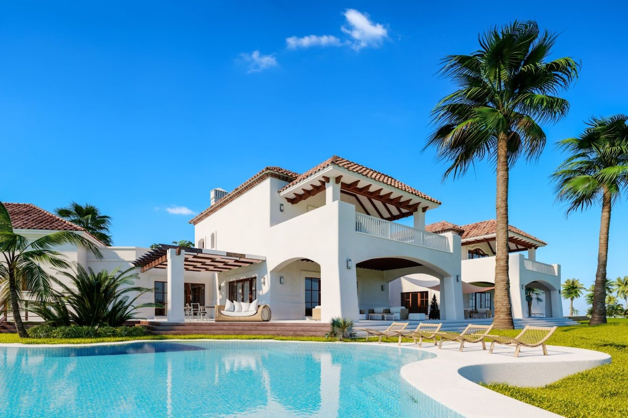
A Custom, View-Driven Feel
Based on the city’s planning framework and available property examples, Las Flores is best understood as custom, low-rise, and view-oriented. The area does not read as uniform or master-planned. It feels more individual, with homes shaped by topography, frontage, access, and sightlines.
That matters if you value uniqueness. In Las Flores, the appeal often comes from how a property relates to the land, the water, and the surrounding canyon terrain.
What Shapes Development in Las Flores
Malibu’s Local Coastal Program also makes clear that development in this part of the city is constrained by topography, habitat, visual resources, hazards, fire-safety design, brush clearance, and emergency vehicle access. Those are not minor details. They are part of the reality of owning along the Malibu coast.
For you as a buyer or property owner, this means due diligence is essential. Site conditions, access, and design limitations can play a major role in how a home is used, updated, or rebuilt over time.
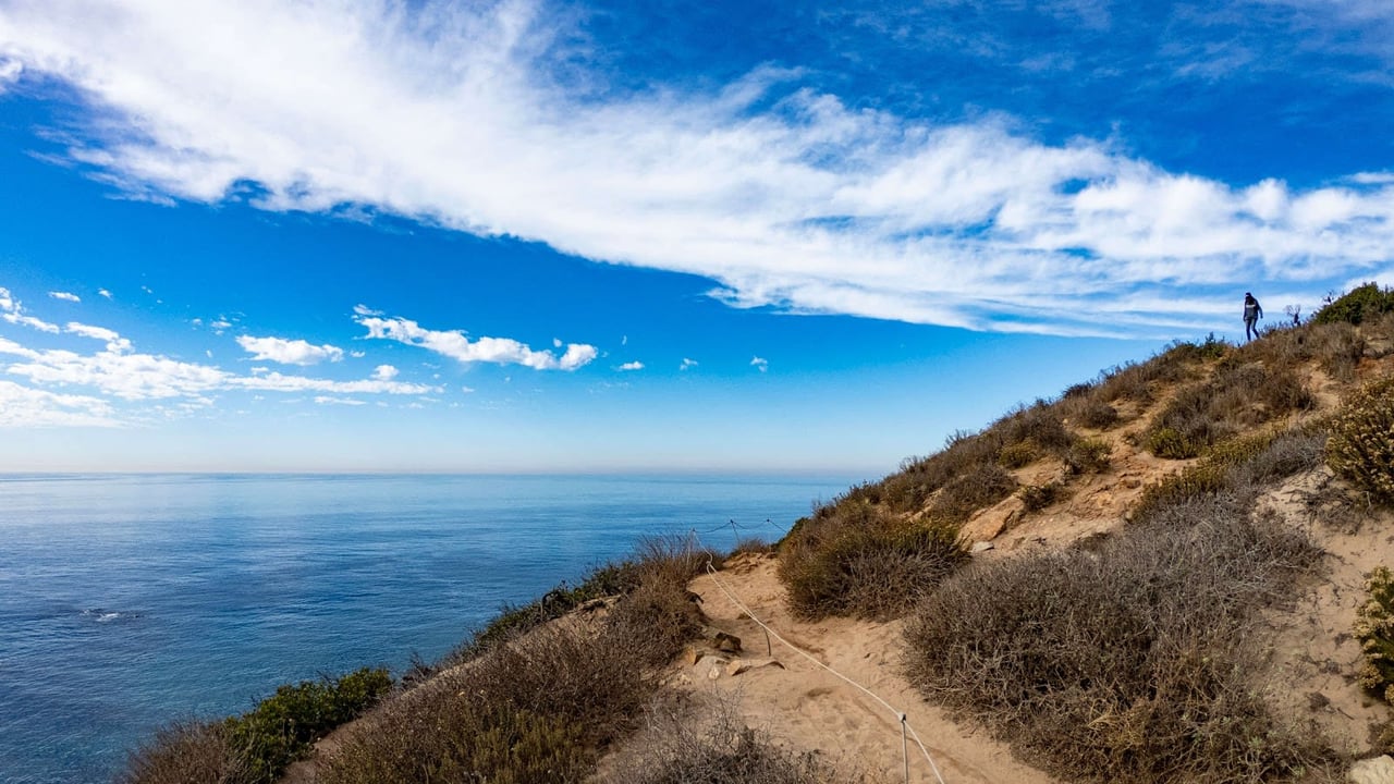
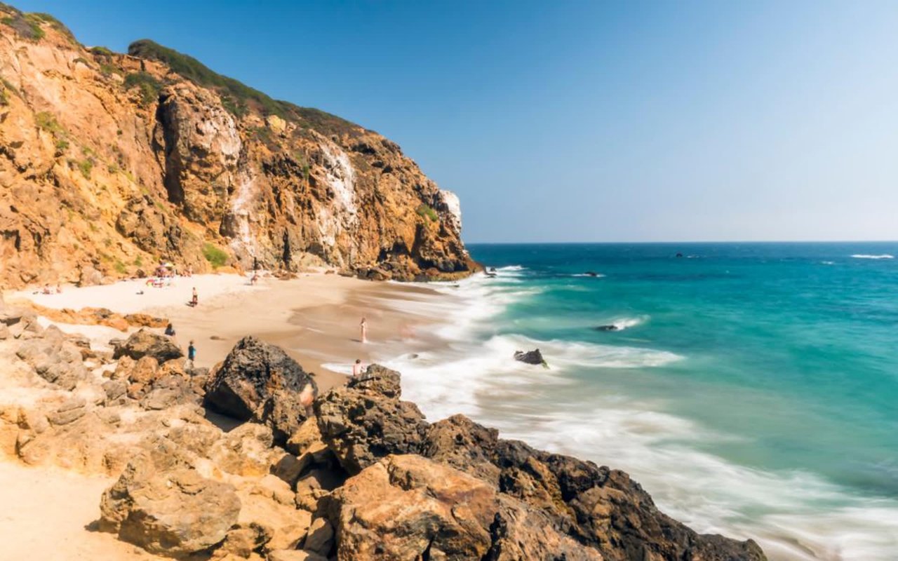
Beach Access and the Local Beach Experience
A More Residential Beach Setting
Las Flores Beach has a different public-access profile than Malibu’s larger public beach destinations. The City of Malibu beaches page highlights several of the city’s better-known public beaches, while Las Flores is more closely associated with access easements and residential frontage.
That helps explain the feel on the ground. Las Flores tends to come across as a more residential, access-limited beach environment rather than a broad public beach park.
Easements Matter Here
The Local Coastal Program calls for one accessway every 1,000 feet in the La Costa and Las Flores segment and specifically directs the city to improve and open the vertical access easement at Las Flores Creek. A 2017 California Coastal Commission staff report stated that the easement at 20802 PCH was then the only recorded vertical access to Las Flores Beach, and no public access existed there at that time.
A 2020 Coastal Commission review later noted that illegal encroachments had been removed and the area was ready for MRCA to pursue a public stairway. Together, these updates show how access at Las Flores has been shaped by long-term coastal stewardship and regulatory work.
Current Closures to Know
There is also an active recovery context. As of February 27, 2026, the Mountains Recreation and Conservation Authority coastal access page states that some Malibu coastal accessways remain closed due to the Palisades Fire. The city has also said Las Flores Creek Park is closed until further notice while restoration work is underway.
If you are evaluating the area, it is wise to confirm current access conditions before making assumptions about day-to-day beach use. In coastal Malibu, conditions can change as recovery and restoration efforts move forward.
Daily Life Along Pacific Coast Highway
PCH Drives the Routine
In Las Flores, Pacific Coast Highway is central to everyday movement. It connects the neighborhood east toward Santa Monica and west through the rest of Malibu, making it a defining part of how residents experience the area.
The city reports that it has completed signal synchronization on an eight-mile section of PCH and continues to pursue safety improvements because traffic flow, congestion, and roadway safety remain important issues. That tells you a lot about daily life here: the setting is exceptional, but the transportation pattern is corridor-driven.
Transit Is Part of the Picture
Metro Line 134 runs between downtown Santa Monica and Trancas Canyon along PCH, reinforcing the east-west link between Malibu and Santa Monica. Temporary work-zone restrictions have affected some stops and travel times during recovery, but the route still reflects how strongly this section of Malibu connects back toward the city.
For some buyers, that east-end relationship is a meaningful advantage. It can make Las Flores feel more reachable for full-time living, hybrid schedules, or frequent Westside access.
Who Las Flores Often Appeals To
Las Flores can make sense if you want a Malibu coastal property that feels close-in, scenic, and more individualized than a larger residential enclave. The combination of beachfront homes, canyon residences, and ridge settings creates options for buyers with different priorities around views, privacy, and direct shoreline proximity.
It may especially appeal if you are comfortable with the realities that come with Malibu ownership. Those can include PCH traffic patterns, changing beach access, fire-related recovery conditions, and the added planning considerations that come with coastal and hillside property.
In that sense, Las Flores is not just about scenery. It is about fit. If you want a location that balances a Malibu coastal identity with stronger ties to Santa Monica and the eastern edge of the market, Las Flores deserves a closer look.
Why Las Flores Stands Out in Malibu
What makes Las Flores compelling is not just one feature. It is the combination of a close-in Malibu address, a custom housing mix, a more residential beach character, and a setting shaped by both shoreline and canyon geography.
For buyers entering Malibu or refining their search within its micro-markets, Las Flores offers a useful middle ground. It can deliver the texture and prestige of coastal Malibu while remaining more connected to the eastern side of the market.
If you are considering a purchase or sale in Malibu and want clear, local guidance on where Las Flores fits, Sandro Dazzan offers the kind of market perspective that comes from deep roots, discretion, and a strong understanding of Malibu’s coastal inventory.
FAQs
What is Las Flores Beach’s location within Malibu?
- Las Flores Beach is on Malibu’s eastern shoreline near Las Flores Canyon Road along Pacific Coast Highway, placing it among the closer Malibu coastal areas to Santa Monica and the Westside.
What types of homes are found near Las Flores Beach?
- Homes in and around Las Flores include residences along the narrow coastal strip near the beach as well as scattered homes in canyon and mesa settings above the shoreline.
Is Las Flores Beach a major public beach in Malibu?
- Las Flores Beach is generally understood as a more residential, access-limited beach area, with public access shaped by easements rather than the large beach-park format found elsewhere in Malibu.
How does Pacific Coast Highway affect daily life at Las Flores Beach?
- PCH is the main transportation corridor for the area, so traffic flow, safety conditions, and east-west travel patterns are important parts of everyday life.
Are there current access or park closures near Las Flores Beach?
- Yes. As of February 27, 2026, MRCA reports some Malibu coastal accessways remain closed due to the Palisades Fire, and the City says Las Flores Creek Park is closed until further notice for restoration work.