For most of the past two years, anyone driving PCH in and out of Encinal Bluffs has heard the same plan repeated in council chambers, town halls, and neighborhood group threads: the two intersections that mark the neighborhood's edges, at El Matador State Beach Road on one side and Encinal Canyon Road on the other, were getting roundabouts. Quick build. Temporary. Construction expected in early 2026.
On August 10, the Malibu City Council voted to kill the project entirely.
That reversal is the story most people will hear about secondhand, if they hear about it at all. What's more useful to know is why it died, because the reason has nothing to do with whether the roundabouts would have made those two junctions safer. It has to do with a funding rule that made the whole design unworkable the moment the city admitted the roundabouts were only ever meant to be temporary.
The Two Gates
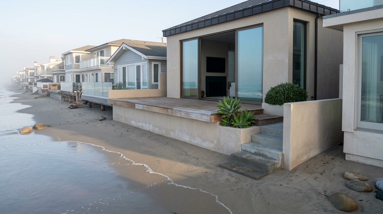
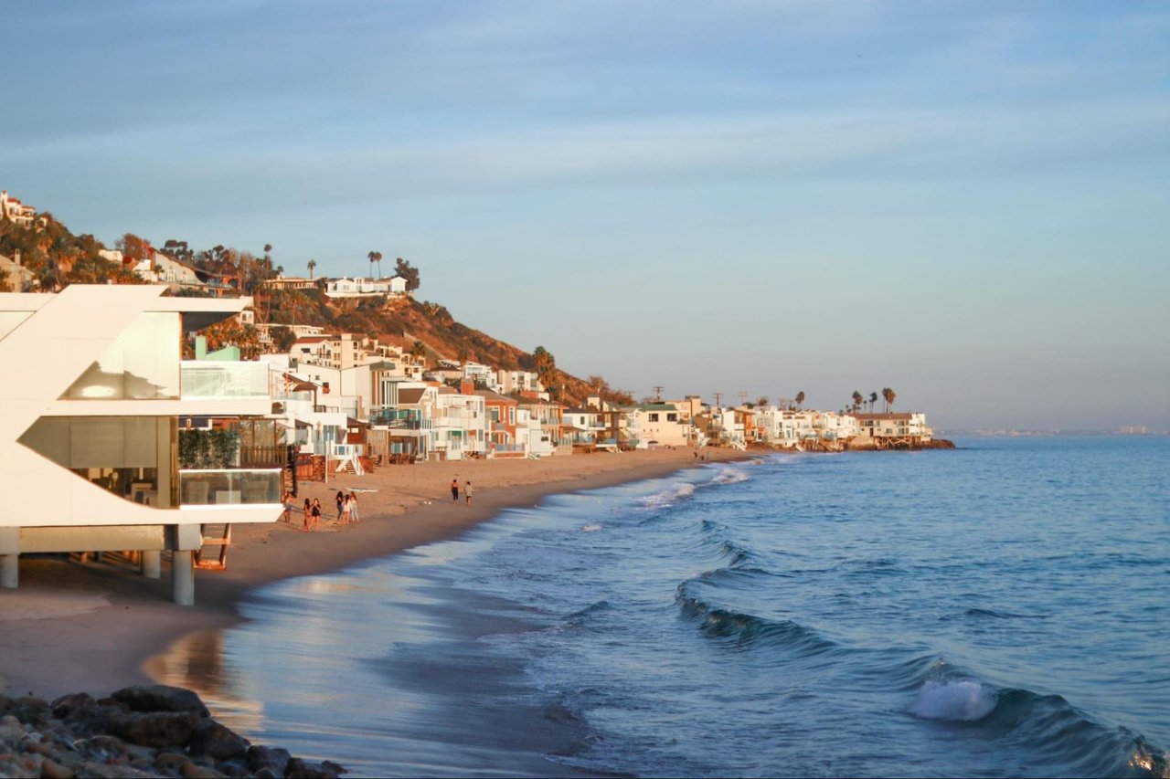
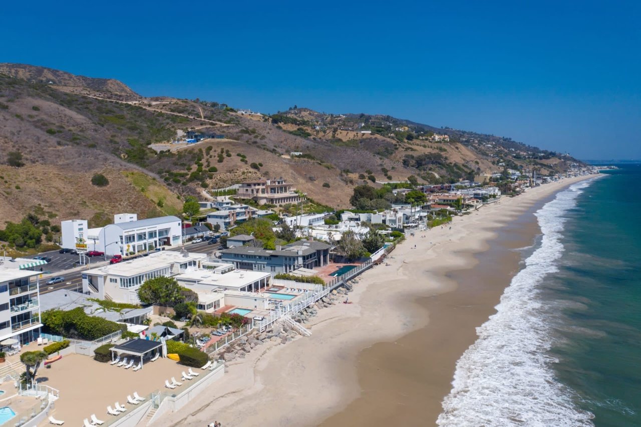
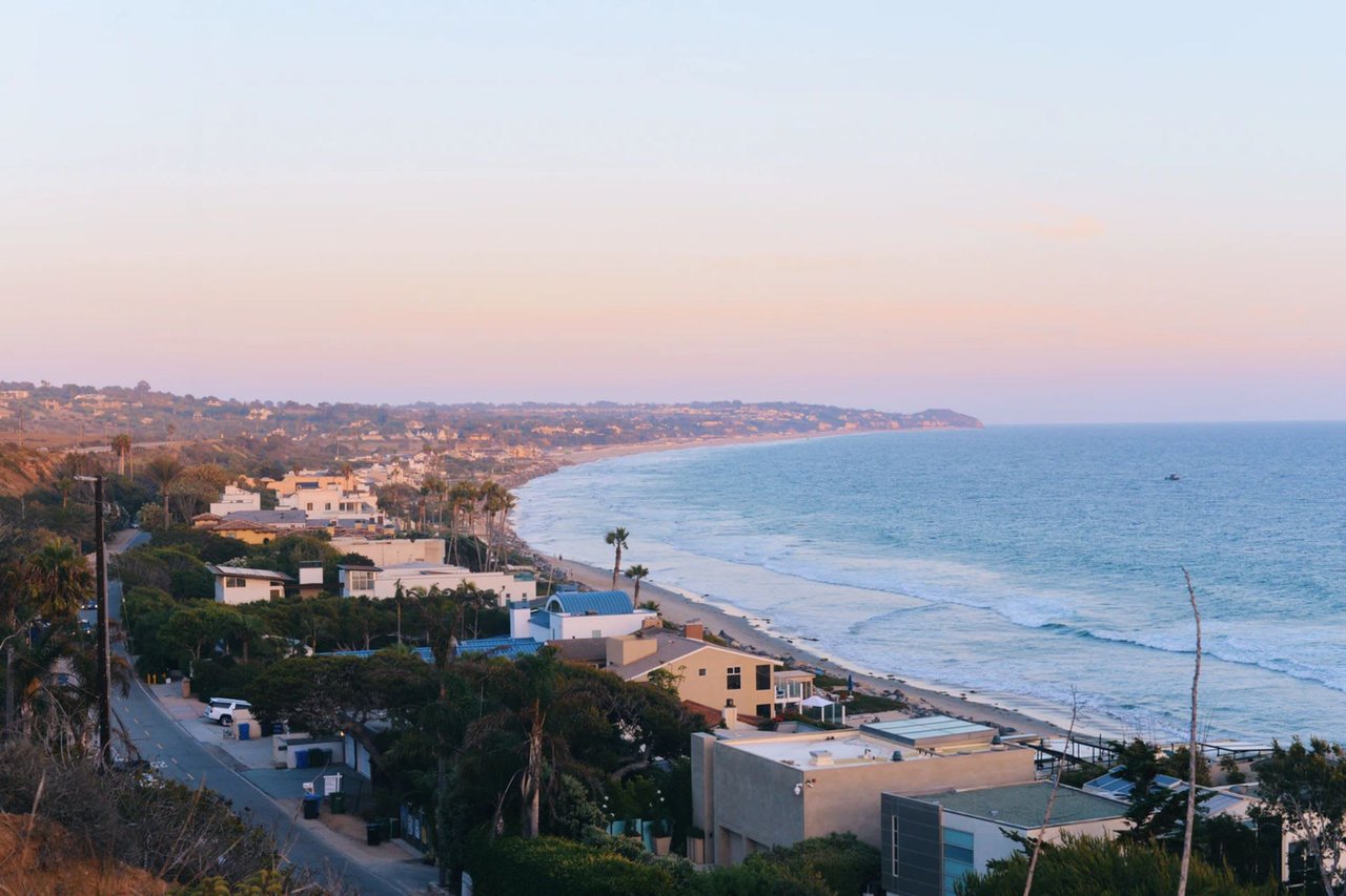
Encinal Bluffs sits between two amenities that define how residents actually move through their week: El Matador State Beach at one end of the neighborhood's PCH frontage, Charmlee Wilderness Park at the other along Encinal Canyon Road. Both intersections have long been flagged as trouble spots on PCH, places where cars slow to turn, pedestrians cross without a signal, and beach traffic backs into the travel lane on a busy Saturday.
The project traced back to October 2023, after four Pepperdine University students were killed in a PCH collision. In January 2024, the council directed staff to pursue rapid, deployable safety fixes along the corridor. Working with Caltrans and LA County Supervisor Lindsey Horvath's office, the city landed on single-lane roundabouts at the two Encinal-area intersections, funded by a $2 million Metro allocation approved in February 2025 through Measure M.
Here is how the timeline actually ran:
| Date | What happened |
|---|---|
| October 2023 | Four Pepperdine students killed in a PCH collision, prompting the city to pursue rapid safety fixes |
| January 2024 | City Council directs staff to pursue quick-build safety measures along PCH |
| February 2025 | Metro approves $2 million in Measure M funds for the two roundabouts |
| October to December 2025 | Virtual and in-person town halls, Public Works and Planning Commission review |
| March 2026 | Project comes back before City Council |
| August 10, 2026 | Council votes unanimously to end the project |
The Math That Didn't Save It
Before the vote, the council asked for something specific: a wildfire evacuation model that would stress-test PCH with and without the roundabouts in place, using the Woolsey Fire as the reference scenario. The model covered 5,871 households potentially evacuating through the corridor, translating to roughly 11,886 vehicles, with notices beginning around 7 a.m., departures peaking near 11 a.m., and the last evacuees leaving closer to 3 p.m.
The finding was almost anticlimactic. The roundabouts, the model showed, would add an estimated 1.4 percent to overall evacuation clearance time under the modeled power shutoff scenario. That is a rounding error, not a red flag.
So why did the project still die? Because of the money, not the traffic. The $2 million in Measure M funds could not legally be used if the city intended, from the outset, to pull the roundabouts out after a temporary trial period, which is exactly the "quick build" pilot model the whole project was designed around. A design built to be temporary ran straight into a funding source built for permanence. The city is now working with Metro to reimburse eligible design costs already spent, and the unused Measure M funds go back to Supervisor Horvath's office for other regional transportation projects.
The takeaway for anyone living at either end of Encinal Bluffs: this wasn't a safety verdict. It was a paperwork problem that happened to have a two-lane highway attached to it.
What Is Changing Instead
The council was clear that this isn't a rejection of traffic calming on western PCH generally, just these two locations as designed. In the meantime, the city is leaning on measures already running. Automated speed cameras authorized under SB 1297 went live with a 60-day warning period in the fall of 2025, with full citation enforcement underway by November 2025. The broader PCH Speed Safety System remains the city's primary tool for slowing the corridor down.
Practically, that means the drive out of Encinal Bluffs this month looks the same as it did last summer at both junctions, two lanes, no roundabout, but the enforcement behind it is not the same as it was a year ago.
The Trail Across Encinal Canyon Road
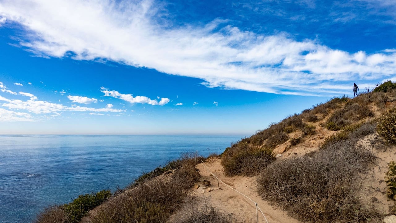
Charmlee Wilderness Park sits at 2577 Encinal Canyon Road, right at the second of the two intersections in question. It's 532 acres with more than eight miles of interlocking trail, closed during Red Flag Warnings, and reopened for public use in October 2020 after repairing extensive Woolsey Fire damage.
The Ocean Overlook Loop is the trail most people come for, a 2.7-mile loop with about 459 feet of elevation gain, rated 4.7 stars across more than 1,500 AllTrails reviews. Ranch House Ruins is the other anchor point most locals build a route around. Wildlife cameras the city installed in November 2021 have caught a resident bobcat along with quail, fox, coyotes, deer, rabbits, skunks, and owls passing through the meadows.
Spring is when the park earns its reputation, with lupine, mariposa lily, and sage covering the East Meadow and Botany trails. By August the grass has gone gold and the smart move is an early morning loop before the marine layer burns off, since there's little shade along most of the ridge. The park charges a day-use fee, typically cited around four dollars, and keeps hours from 8 a.m. to sunset.
The Beach Below
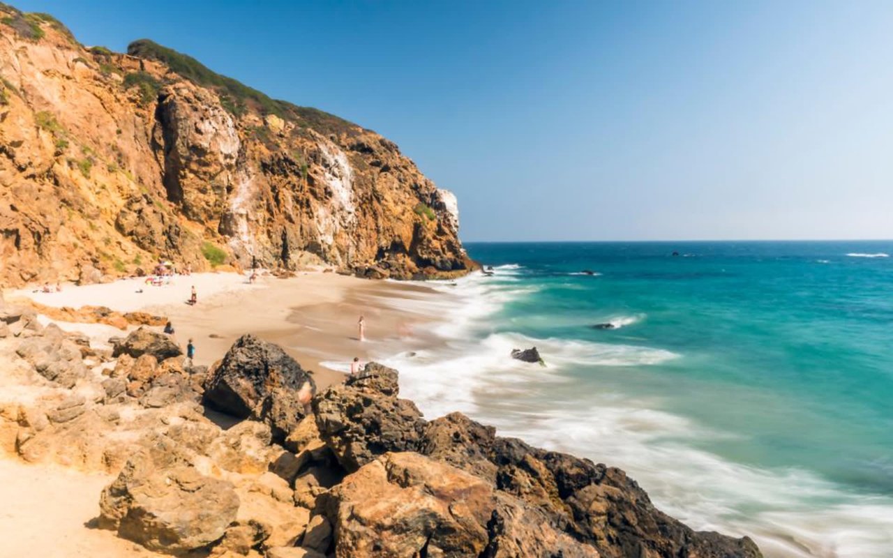
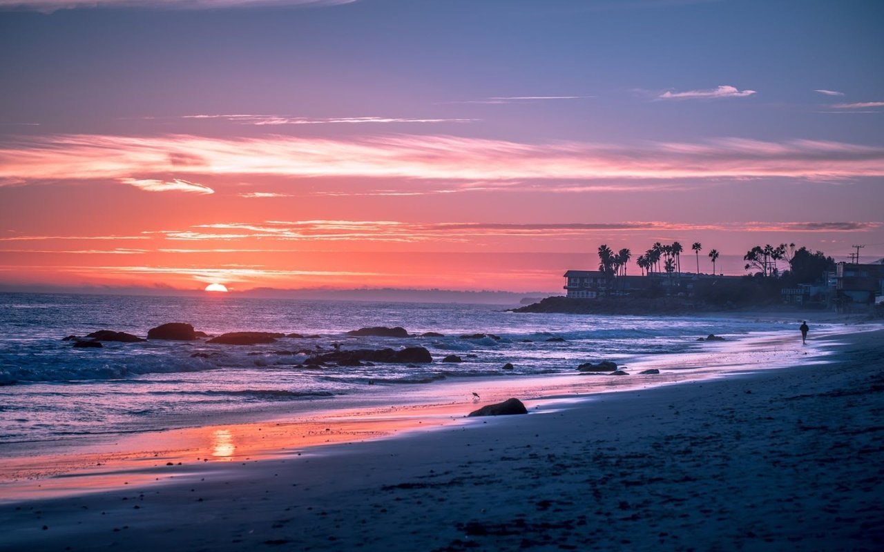
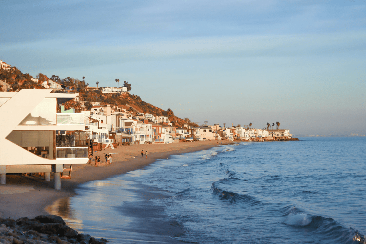
El Matador is one of three pocket beaches that make up Robert H. Meyer Memorial State Beach, alongside La Piedra and El Pescador, sitting roughly ten miles up PCH from central Malibu between Point Dume and Leo Carrillo. The bluff-top lot is open 8 a.m. to sunset with a posted parking fee generally in the eight to ten dollar range, and it fills before noon on a summer weekend, which is a large part of why this exact intersection made the roundabout list in the first place.
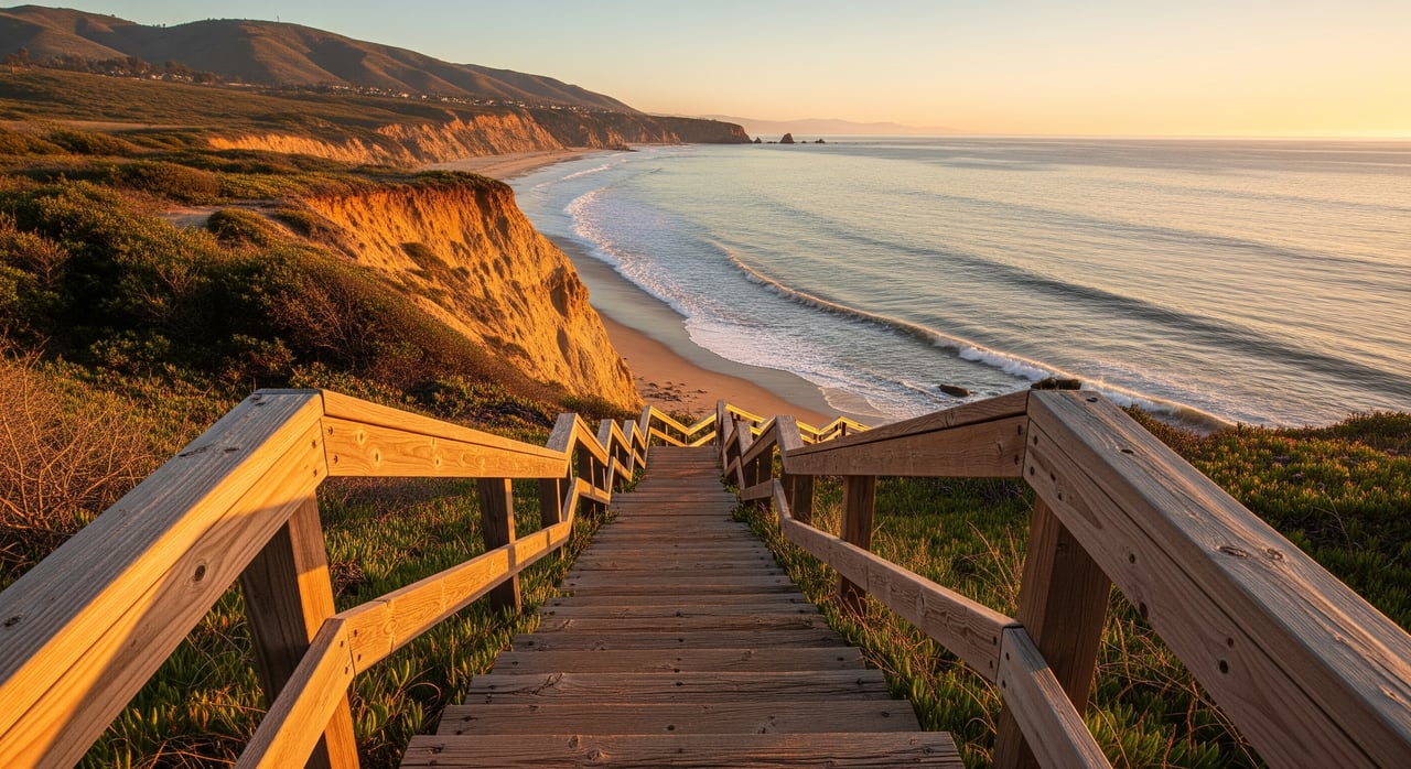
Getting down to the sand means a dirt path followed by two flights of stairs, not something to attempt with a stroller or if stairs are a problem. What's waiting below is the payoff: sea stacks, walk-through caves best explored at low tide, and a stretch of coast still run more by the tide chart than by anyone's fence line. There are no permanent lifeguard towers and no rinse-off showers, just portable restrooms at the top of the trail, so most residents treat it as a there-and-back rather than a full beach day.
A Loop Worth Knowing
For anyone building a weekend around these two anchors instead of driving into central Malibu, the order tends to run the same way most weeks:
- Early morning: the Ocean Overlook Loop at Charmlee, before the heat sets in
- Midday: check the tide chart before committing to El Matador, since the caves and lower rocks are only worth the stair climb near low tide
- Late afternoon: if the bluff-top lot is full, the roadside PCH shoulder near El Matador is signed and enforced, so it's worth reading the posted hours before parking
- Evening: back up Encinal Canyon Road as the light goes gold over the meadow
What Actually Changes This Summer
Nothing changes at the pavement level. Both junctions stay two lanes each direction, no roundabout at either end. What changes is quieter: a city that spent two years building a case for these intersections walked away from the design, not because the safety math failed, but because the funding rules never matched the pilot model in the first place. Council members were explicit that roundabouts elsewhere on PCH are still on the table, just not built the same way twice.
For now, the roads that frame Encinal Bluffs look the way they always have. What's watching them has changed more than what's on them.
Sandro Dazzan has spent his life on this stretch of coast, watching how small civic decisions like this one shape daily life in Encinal Bluffs long before they ever show up in a listing description. If you're weighing a move in this part of Malibu, or simply want a straight answer about how a neighborhood actually runs day to day, Sandro Dazzan is worth the conversation. Book a Private Consultation.