Which gate do you walk out of today?
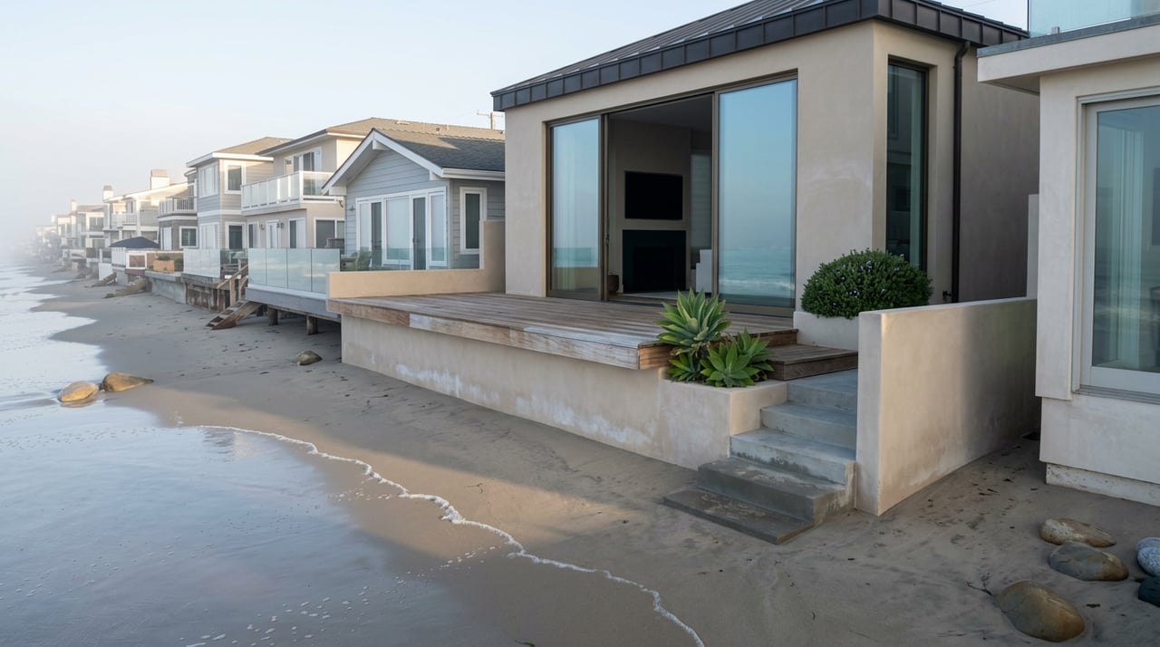
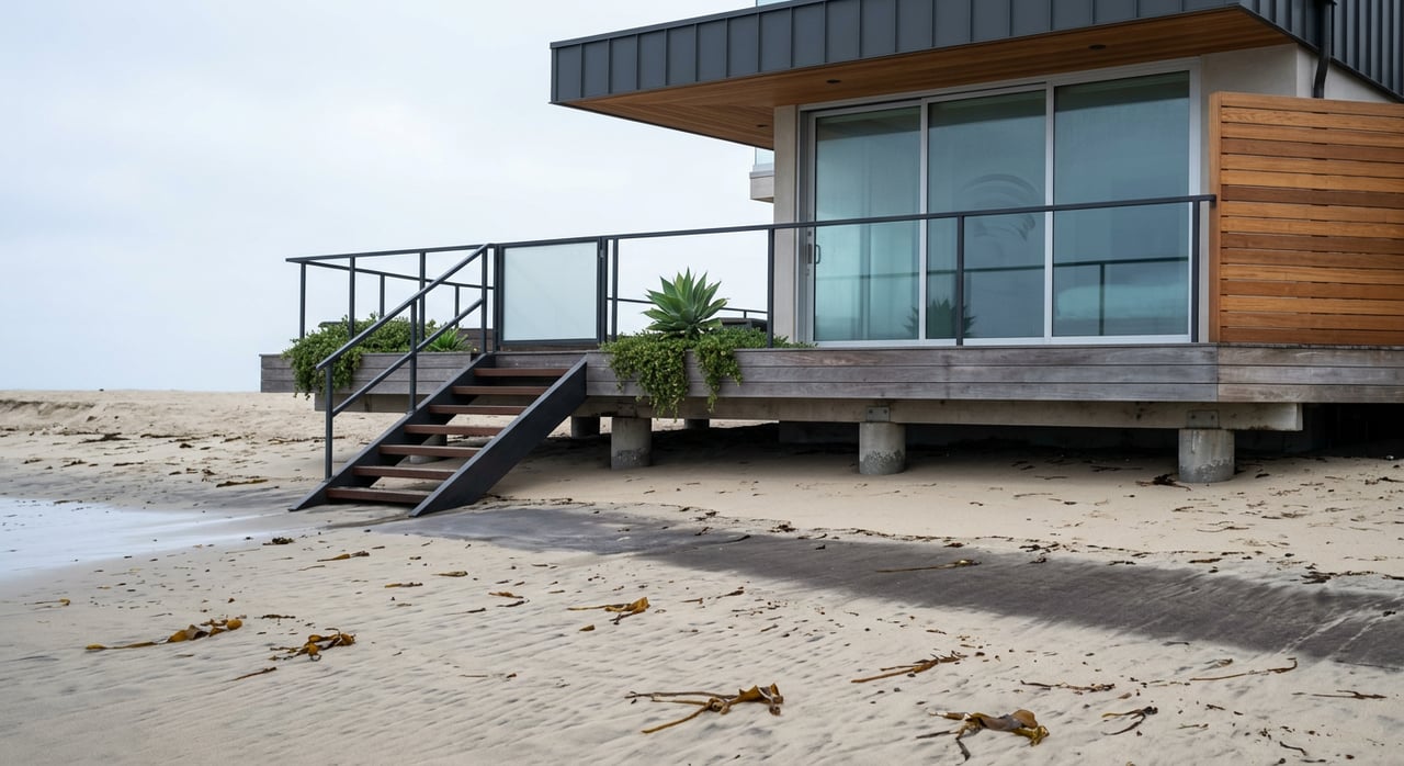
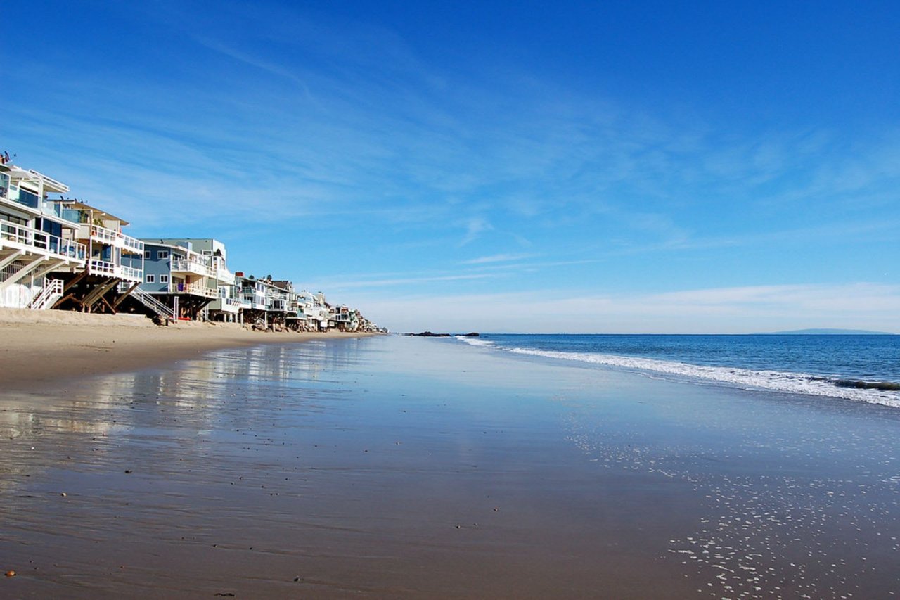
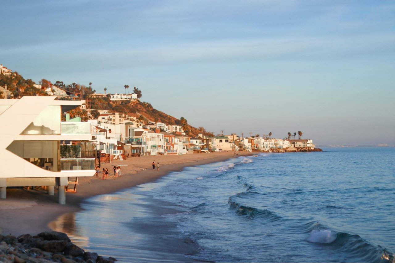
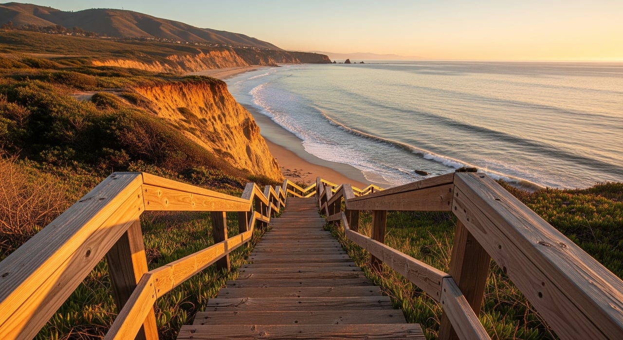
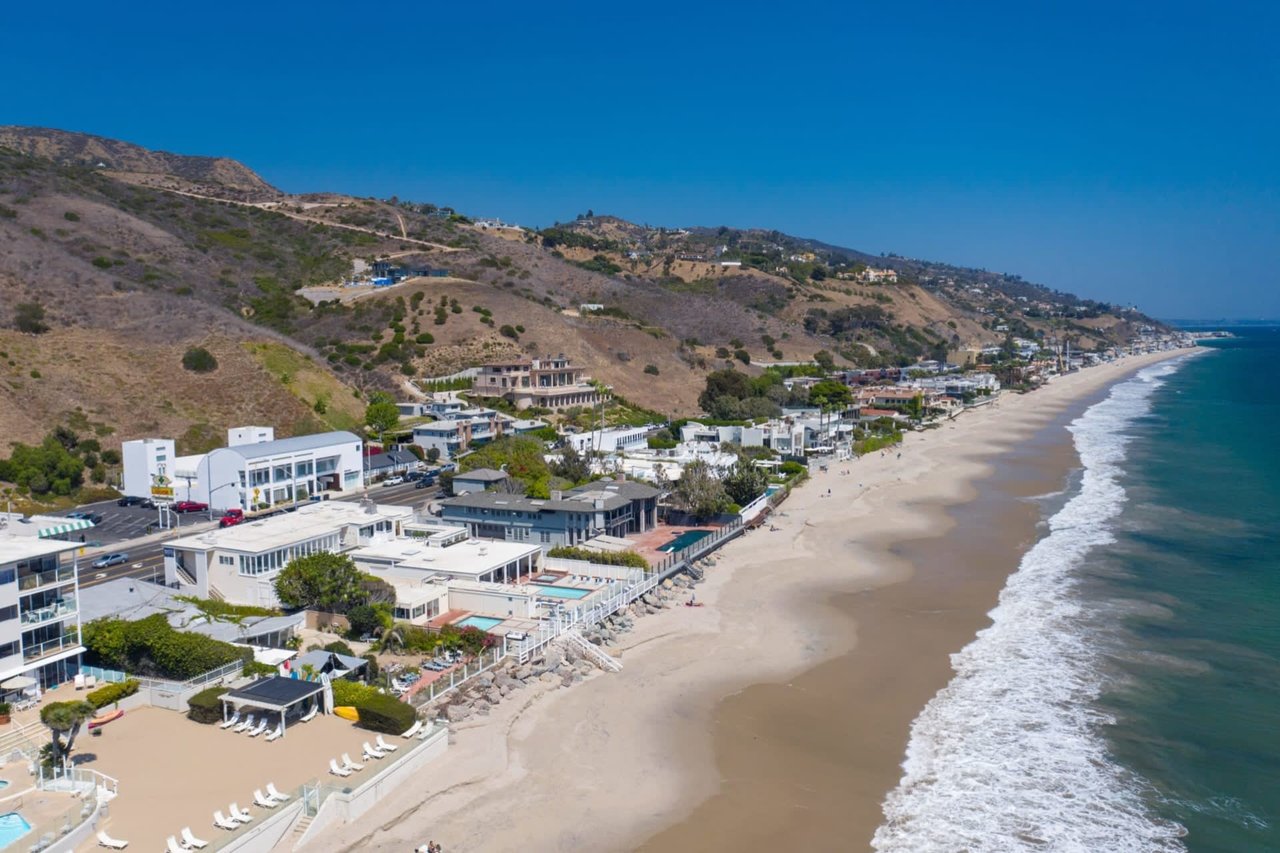
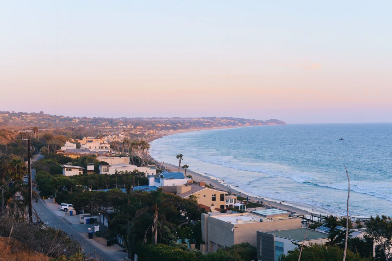
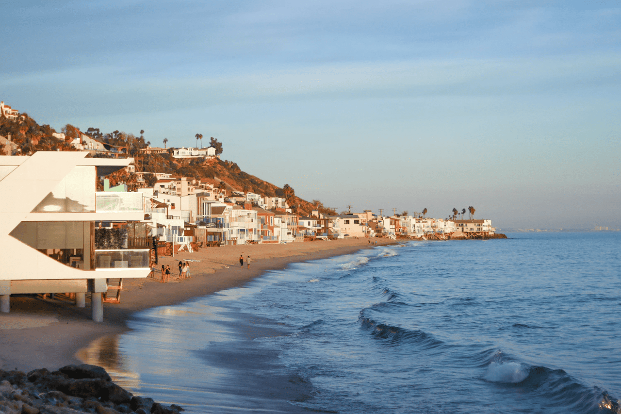
For anyone behind the guard gate on Malibu Cove Colony Drive, that used to be a formality. The single road serves 51 homes perched close enough to the water that the piers get wet at high tide, and for years the walk off the property followed a familiar shape: east toward Escondido Creek, west past Geoffrey's, then south along the sand to the Latigo tide pools before doubling back. Three legal ways onto the beach bracket the colony, all managed by the Mountains Recreation and Conservation Authority, all open as of this writing. The fourth leg of that walk, the one that actually closes the loop, is not.
Three gates, all currently open
MRCA's coastal access listing, current as of early August 2026, names the accessways on either side of Malibu Cove Colony with the specificity of a property record rather than a tourist map:
- Escondido Creek Beach, 27148 Pacific Coast Highway (open)
- Hidden Beach, cutting past Geoffrey's Restaurant at 27400 Pacific Coast Highway (open)
- Cliffside at Escondido Beach, 27420-27428 Pacific Coast Highway (open)
The Escondido Creek gate sits at a bridge crossing, and MRCA notes a second, tide-dependent route there too: the Penelope, Cole, and Ava undercrossing beneath PCH, which only works when the creek isn't running high and the tide is out. Walk west instead and you pass directly alongside Geoffrey's, the oceanfront restaurant that has operated on this stretch of PCH since 1948. Its beach cut-through is public infrastructure, not a courtesy, and it remains the most reliable of the three because it doesn't depend on a locked gate or a construction crew showing up.
None of this is new by accident. The accessways exist in their current, built-out form because of a settlement the California Coastal Commission closed out in 2023, after a four-decade dispute over a Coastal Act easement here that had been fenced, planted over, and otherwise made to disappear. The resolution required the property trusts involved to fund a quarter-mile trail and a small parking lot at their own expense, an outcome the commission's enforcement chief called rare enough to compare to "flying to the moon." The total value of that construction and the accompanying penalties ran past $4 million. What residents walk through today, a real trail with real parking rather than an informal gap in a hedge, is the physical result of that case.
The leg that doesn't connect
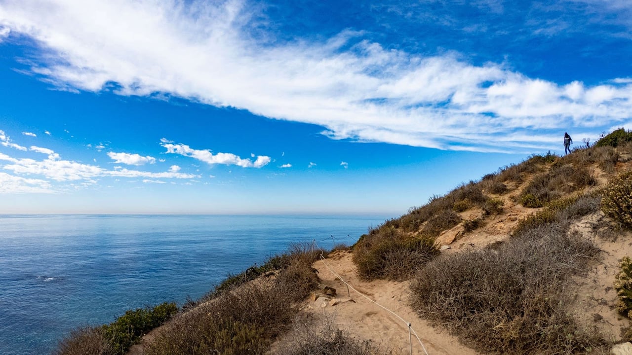
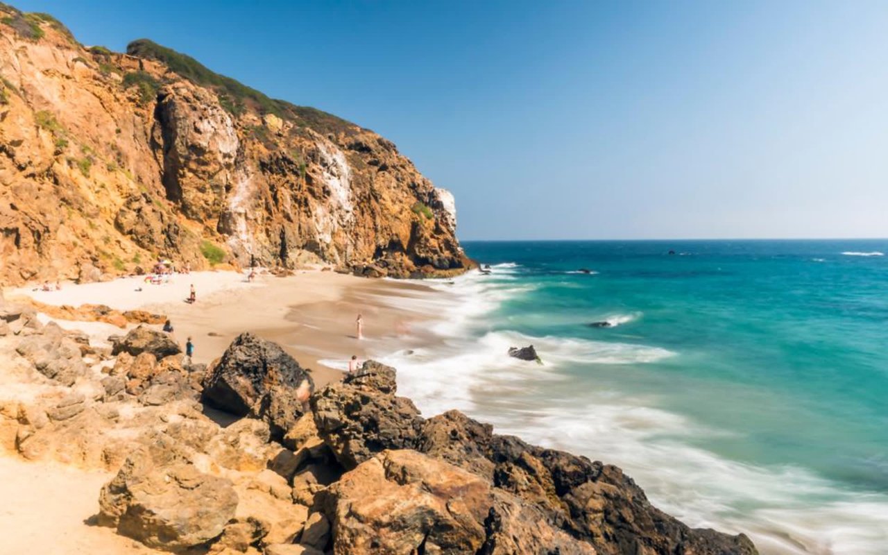
Here's what changes the shape of the walk this fall. South of the colony, MRCA currently lists Latigo Beach, at 26500 Latigo Shore Drive, as closed until further notice due to hazardous conditions. That closure sits directly between Malibu Cove Colony and the tide pools that have long marked the turnaround point of a beach walk here, the same tide pools that give way to views of Point Dume. The three gates on either side of the colony still work. The connector that used to make a loop out of the walk currently does not.
MRCA doesn't attach a reopening date to that status, and it shouldn't be read as a fixed timeline. A few miles down the coast, the city of Malibu posted its own hazardous conditions warning in late September 2026, describing exposed pilings, concrete, and steel in the sand near Point Dume State Beach after ongoing erosion, with the access road into that beach's parking lot closed while the beach itself stayed open. The pattern along this stretch of coast this fall is the same kind of open-beach-closed-access split showing up at Latigo: the sand isn't gone, but the way down to it, or in Latigo's case, the way along it, is what's currently unreliable.
Two different reasons to check before you go
There's a second layer here that matters for anyone timing a walk or a swim around this part of the coast, and it's easy to conflate with the accessway closures because both show up as warnings. MRCA's open/closed status describes physical access: gates, trails, parking, stairs. Los Angeles County's beach water-quality program describes something else entirely, bacteria levels in the ocean itself, and it runs on its own separate monitoring schedule.
This spring, that county program flagged two specific points along this same stretch in the same advisory. In April 2026, the Los Angeles County Department of Public Health listed Latigo Shore Drive, covering the water 100 yards up and down the coast from the public access steps there, and Escondido Creek at Escondido State Beach, the same 100-yard framing applied to the creek mouth, both cited for bacterial levels exceeding state health standards after rain. The two ends of the walk out of Malibu Cove Colony, Escondido Creek to the east and the Latigo stretch to the south, were the same two points that advisory named. A gate being open doesn't tell you anything about the water quality advisory status on a given day, and checking one doesn't cover the other.
What actually holds up
None of this makes the walk impossible. It makes it a there-and-back instead of a loop, at least for now, and it means the accessway that used to anchor the far end of the route is the one piece of infrastructure currently offline. Geoffrey's remains the steadiest fixed point on the whole stretch, open on its usual seasonal hours and unaffected by tide or trail status, since its beach cut sits above the sand rather than depending on a staircase into a closure zone. The Escondido Creek gate and the Cliffside stairs both still function as MRCA describes them, subject to the same tide dependency that's always applied at a creek mouth.
What's changed isn't the gates. It's the connector. Anyone planning to walk from the colony to the tide pools this season is better off treating it as an out-and-back with a checked forecast, not a loop with a known ending, until MRCA's listing changes.
The fastest way to confirm current status before heading out is MRCA's own coastal access page, which it updates directly, alongside the county's beach advisory map for water quality. Both take under a minute to check and both cover different things.
If the accessway map shifts again before the rains start, it's worth a quick look before you commit to a route. For anyone weighing what these changes mean for a specific stretch of sand or a specific address along it, Sandro Dazzan tracks this kind of on-the-ground detail across Malibu's coastline as a matter of course.