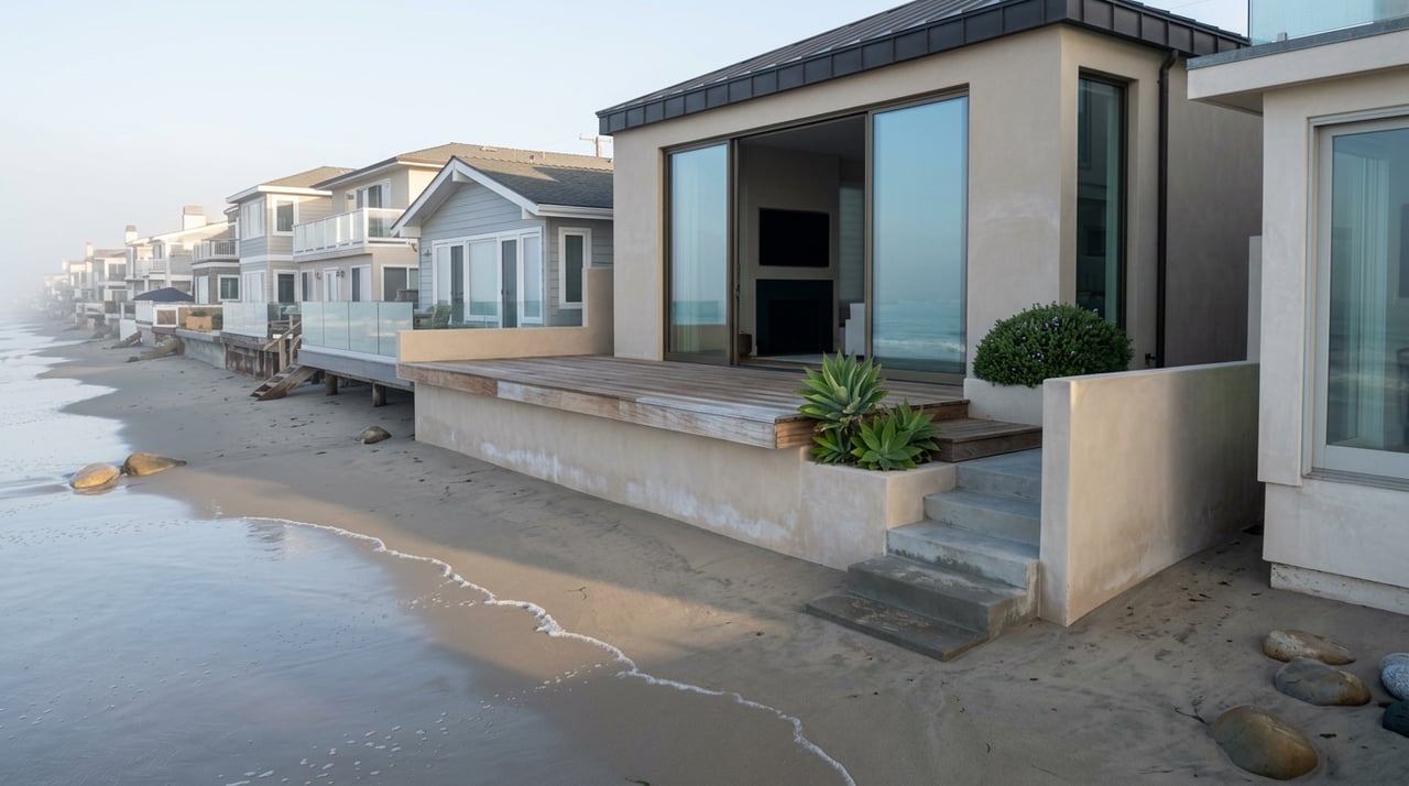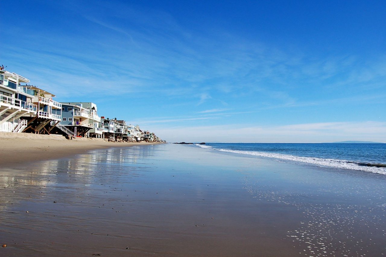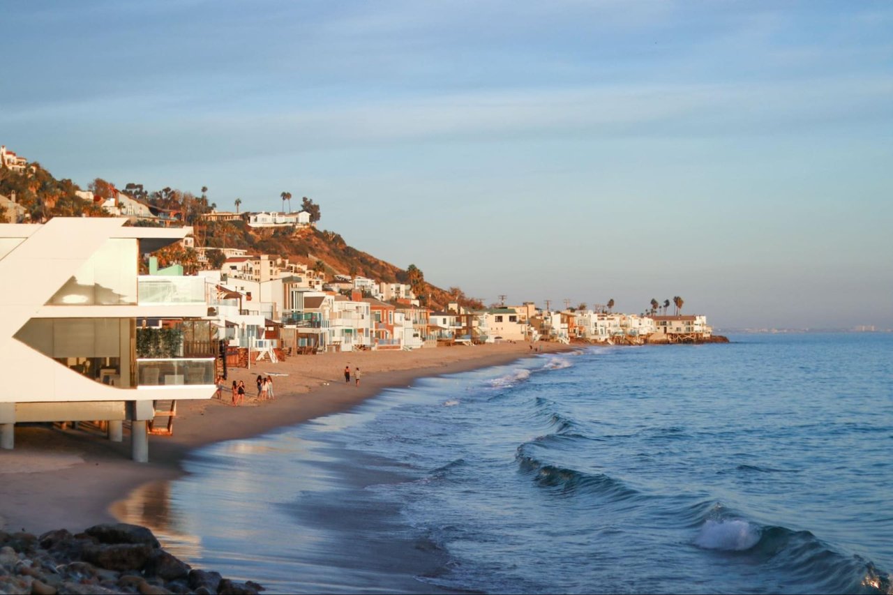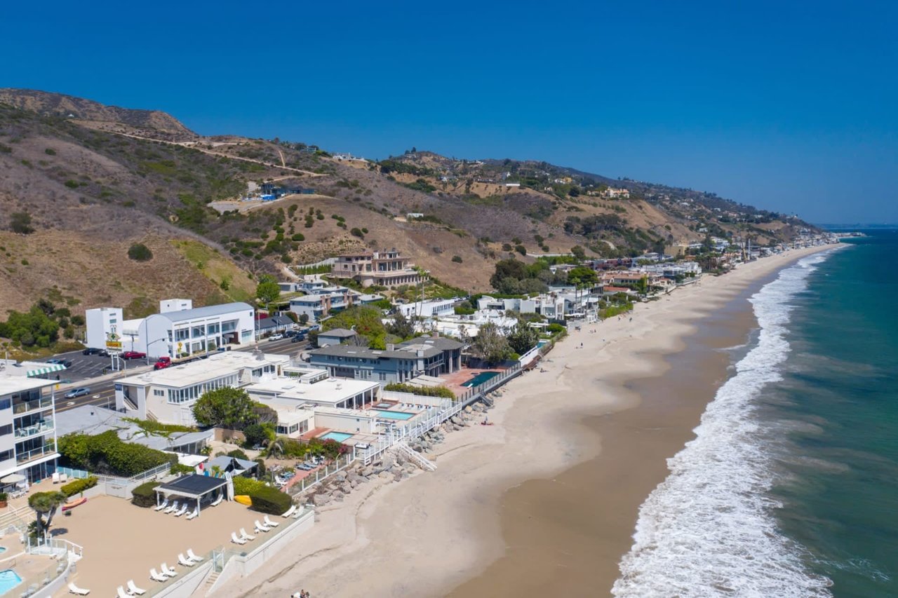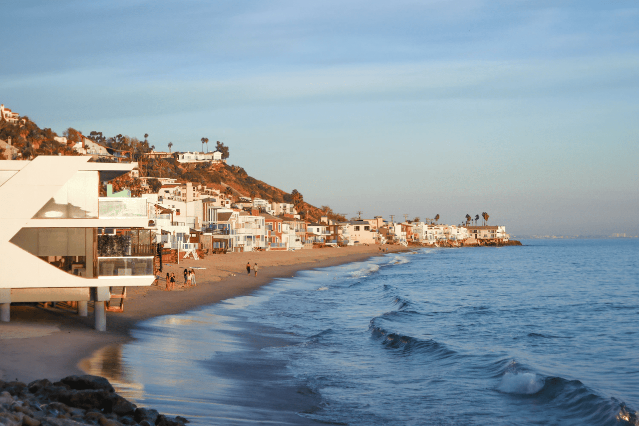
East of Las Flores Canyon Road, the cones still sit on Pacific Coast Highway and the signs still read 25. Caltrans lists the stretch from Sunset Boulevard to Carbon Beach Terrace as "an active work zone, subject to single-lane closures and 25 mph speed limit still in place." Every Las Flores Beach driveway opens onto that stretch. Two of the City of Malibu's five planned speed camera sites mark its ends, at Tuna Canyon Road to the east and Carbon Beach Terrace to the west.
The cameras are getting close to switching on. What they will actually enforce on this stretch has not been settled yet.
Three speed limits on one highway
Since the Palisades fire, PCH between Santa Monica and Malibu has run under three limits. Caltrans lists the current conditions this way:
| Segment | Current condition | Posted limit |
|---|---|---|
| McClure Tunnel to Temescal Canyon Road | No more cones or restrictions | 45 mph |
| Temescal Canyon Road to Sunset Boulevard | Reduced cones and signage | 35 mph |
| Sunset Boulevard to Carbon Beach Terrace | Active work zone, single-lane closures | 25 mph |
That page was last updated in June 2026. The 25 mph limit was already in Caltrans' February 21, 2025 advisory, back when one lane ran in each direction from Chautauqua Boulevard to Carbon Beach Terrace. For nearly two years, the drive home to Las Flores Beach has carried the lowest posted limit on the Malibu coast. The work zone has outlasted the immediate emergency, and the limit has stayed with it.
Before the fire, the city's own planning documents listed a posted limit of 45 mph at Tuna Canyon. The city's FAQ gives 45 mph as the posted limit on PCH and puts the measured 85th percentile speed at 55 mph. That is the speed traffic engineers use to describe how fast vehicles move under normal conditions.
How the threshold moves with the sign
The city describes the system as lidar plus camera equipment that detects "vehicles traveling at least 11 MPH above the posted speed limit," photographs the rear license plate, and generates a citation for review. Because the trigger is measured from the sign, the posted number decides everything.
Under a 45 mph limit, the trigger is 56 mph. Under 25 mph, it is 36.
In the Los Angeles Times, Damian Kevitt, founder of Streets Are for Everyone, described traffic on the eastern stretch this way:
"Most people are doing 35 to 45 mph, which is still slower than other parts of PCH, which is great, but that means most people would get a speeding ticket."
A driver doing 40 past Las Flores Canyon Road is under the old limit and well short of a 56 mph trigger. Against a 25 mph sign, the same driver is 15 over.
Where the 100,000 came from
On October 1, the city reported that preliminary testing from September 16 through September 24, 2026 recorded about 100,000 speeding violations across four camera locations, with about 86 percent in Eastern Malibu. The cameras were not issuing warnings or citations during that test and were not pulling driver information from the DMV.
The Los Angeles Times named the four test sites as Tuna Canyon, Latigo Canyon, Decker Canyon and the Zuma Beach area. Of those four, only Tuna Canyon sits inside the 25 mph work zone. The city has not published counts for each site, and Kevitt told the Times a fuller report would have included data from every location, including sections with higher limits.
City spokesperson Matt Myerhoff gave the Times the context behind the number:
"The city, law enforcement and the community have known that it is rare for any vehicles to adhere to the lowered, temporary 25 mph speed limit in the Palisades fire burn area construction zone."
He added that whatever the enforceable limit turns out to be, the tally "is still surprising, and underscores the need for the speed safety system to help break the culture of speeding on PCH." The headline figure is real, and so is the speeding problem. On the stretch between Tuna Canyon and Carbon Beach Terrace, though, much of that figure comes down to measuring ordinary traffic against a construction-zone limit.
The study that decides the number
Two reviews of the eastern limit are underway, and they may or may not be the same effort.
The city says it is "continuing a traffic study in Eastern Malibu to evaluate existing speed limits in the area, specifically impacting the speed cameras in Carbon Canyon and Tuna Canyon," and expects that study to wrap up in November. Separately, Myerhoff told the Times the 25 mph limit has stayed because Caltrans "is conducting a speed survey in the burn scar region to determine the appropriate speed limit for this segment of PCH."
Neither agency has said what limit will come out of this. Neither has said whether the cameras at Tuna Canyon and Carbon Beach Terrace will enforce the temporary 25 or a revised number. The city's language ties enforcement to the "posted speed limit." So for Las Flores Beach, the outcome of the November study matters more than the activation date. It could lock the camera trigger at 36 mph or move it somewhere else.
The construction calendar adds a second variable. Caltrans estimated that most fire-repair work on north PCH, from just south of Tuna Canyon Road to just north of Carbon Beach Terrace, would be done by summer 2026. Repairs to the damaged drainage system could take longer. The seawall repair from north of Pena Road to south of Las Flores Canyon Road still has a completion date of "TBD." As long as the work zone stays active, the reason for the 25 mph sign stays too.
The calendar from here
The city has already moved its schedule once. The August 18 outreach release forecast warnings in late September. The current sequence:
- Testing, now. Several cameras are running in a data-gathering phase. A camera may flash when it detects a violation, but per the city, "the flash does not result in a warning or citation."
- Warning period, November 2026. The city delayed activation to November to allow "necessary installation adjustments." A 60-day warning period starts at activation, and drivers over the threshold receive warnings only.
- Eastern study, expected November 2026. This is the limit review tied to the Carbon Canyon and Tuna Canyon cameras.
- Enforcement, after the 60 days. Qualifying violations then carry civil penalties.
A November activation puts the end of the warning period somewhere between late December 2026 and January 2027, depending on the start date. If the eastern study finishes on schedule, the Las Flores stretch could have roughly two months between learning its limit and paying against it.
The city's 2025 Impact Report says each camera location detects violations in both directions. It also notes that exact placement was "subject to additional field observations and construction recommendations." A 2024 city release described the western site more loosely as "Between Carbon Beach Terrace & Carbon Canyon," which is why both names show up in city materials. The city's program announcement says state law allows Malibu to run up to five systems with 10 cameras inside city limits.
What a citation costs, per the city
The city's FAQ lists the penalty schedule:
- 11 to 15 mph over the limit: $50
- 16 to 25 mph over: $100
- 26 mph or more over: $200
- Top tier, tied to 100 mph: $500
The city says these civil citations carry no driver's license points and do not affect insurance rates. The program also includes an appeals process and a diversion program for eligible low-income residents. On data, the city says non-violation data is deleted immediately and violation records are destroyed within 60 days after a case is resolved. The city's program page has the official rules, and it is the place to check the current details. This is general information, not legal or financial advice, so confirm how any citation applies to you with the city or a qualified professional.
Put the fine schedule next to the two possible limits and the stakes become concrete. Under a 25 mph sign, a driver at 41 mph is in the $100 band. Under a 45 mph sign, the same driver is below the trigger entirely.
The money is meant to stay on the highway. Revenue first covers the cost of running the program, and the city says any remainder may go toward more traffic calming on PCH, worked out with Caltrans. According to the city, more than 60 people have died in collisions on Malibu's 21 miles of PCH since 2010. The 2024 legislation that authorized the cameras, authored by Senator Ben Allen, came after the October 2023 deaths of four Pepperdine University students on PCH. Malibu Mayor Pro Tem Steve Uhring told the Los Angeles Times he expects the cameras' impact to be "somewhat diluted" and argued for tougher penalties for repeat offenses.
For Las Flores Beach, the open question is narrower than the citywide debate. It comes down to whether the number on the sign between Tuna Canyon Road and Carbon Beach Terrace is still 25 when the warning period ends.
If you own on Las Flores Beach and want to talk through how the PCH work zone, the camera timeline and the eastern speed study affect access to your property or the timing of a sale, Sandro Dazzan and The Agency Malibu track these updates as they come out of City Hall and Caltrans. Book a Private Consultation.